|
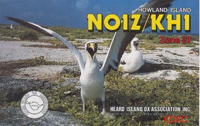
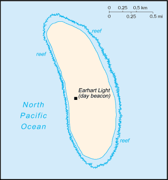
Call : KH1
Zone: WAZ - 31 , ITU - 61
IOTA Nr: OC - 089
WW Grid: AJ10rf
Position: 0 13` N, 176 31` W
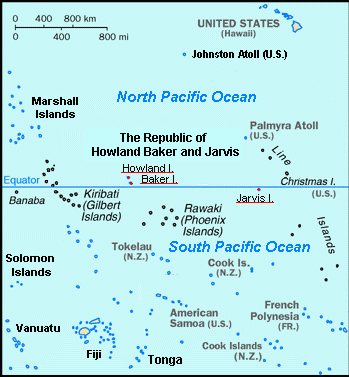
Baker island is an atoll in the North Pacific Ocean, about
one-half way from Hawaii to Australia. US took possesion of the island in1857
and its guano deposits were mined by US and British companies during the second
half of the 19th century. In 1935, a short-lived attempt at colonization was
begun on this island, as well as on nearby Howland island, but was disrupted by
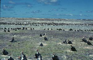
Wolrd War II and thereafter abandoned. Presently the island is a National
Wildlife Refuge run by US Department of Interior.
Climate on island is equatorial, with
scant rainfall and constant wind, with of course burning sun
included.
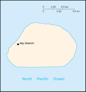
Total area of the island is about 1.4 sq km and the island has
a coastline of about 4.8 km.
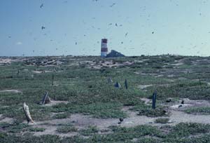
Terrain is very low and the island looks as
nearly level coral surrounded by a narrow fringing reef, with highest point of
island at only 8 mtrs. There is no port or harbour so only offshore anchorage is
available, except for one small boat landing area along the middle of the west
coast.
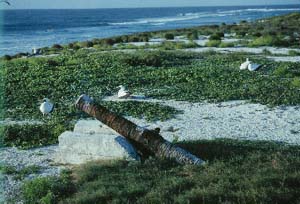
The island has
a treeless,sparse, and scattered vegetation consisting of grasses, prostrate
vines and low growing shurbs. It is primarily a nesting, roosting, and foraging
habitat for seabirds, shorebirds and marine wildlife. There is no drinkin water
on ilsnad available.
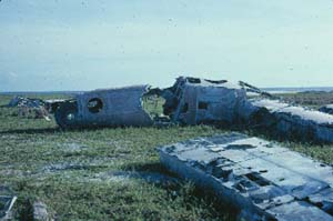
The island also has an old abandoned World War II
runway of 1.665 mtrs, completely covered with vegetation and is unusable.
Here are some pictires from Mr. Doug Forsell U.S.F.W.
officer.
|

.jpg)