|
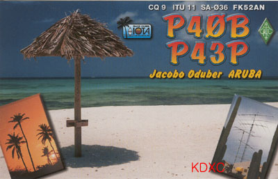
Aruba is situated at 12 deg 33'North and 70 deg 6'West about 30 km off the
coast of Venezuela. The island is 34 km long and 10 km wide. The tourist centre
is the north coast dominated by a 11 km long white sand beach. The small islands
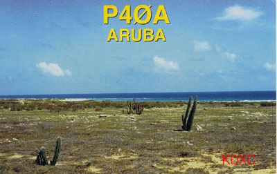
De Palm Reef and Sonesta are situated off the south coast. The hilly centre part
of Aruba is very dry and covered with bushes and cactuses. The highest elevation
is the Yamanota mountain 188m a.s.l. The tropical climate is very pleasing
because of the cool winds.
Aruba was discovered by the Spanish sailor Ojeda in 1499. The Dutch took
possession of the island in 1636. From 1805-1816 England occupied Aruba but had
to hand it back to the Dutch later. Between 1824 and 1913 1500 tons of gold were
found on Aruba. Nowadays the oil refineries are the second most important income
of the country besides of tourism. In 1991 the population declined Aruba's
independence planned for 1996 and is an autonomous part of The Netherlands since
then.
Aruba is a specialty. While the martial Caribes were exterminated on almost
all islands in this part of the world the peaceful aborigines called the Arawaks
make up a colourful population together with the immigrating Dutch, English and
descendants of the slaves.
Amateur radio: prefix P4, own DXCC entity, not listed in the actual Most
Wanted List of the ARRL, time zone: UTC -4h, CQ zone 9, ITU zone 11, <DX-NL 1274 December 20, 2001>
|