|
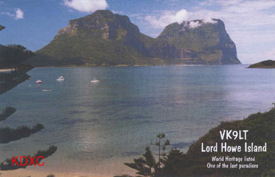
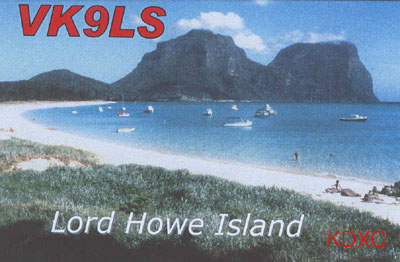
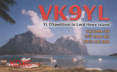
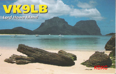
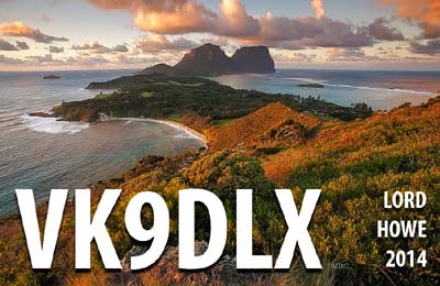
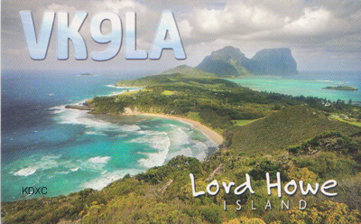
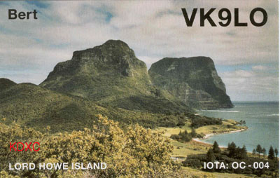
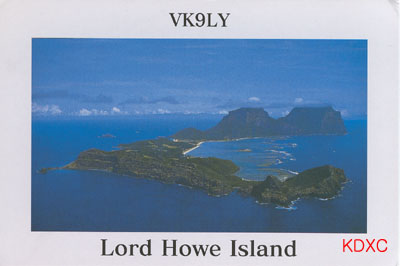
Lord Howe is situated on 31 Degrees 33 Minutes South and 159 Degrees 5
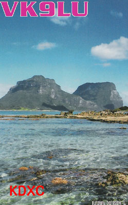
Minutes East ca 600 km east of Australia in the Tasman Sea with Mt Gower (875m)
and Mt Lidgebird (777m) at the two ends. The highlands are covered with rain
forests. Close to this volcanic island are Balls Pyramid and the uninhabited
Admiralty Islands. In front of the 11 km wide arched island the most southern
coral reef of the world and one of the most picturesque ones is situated.
The island was discovered in 1788 by Lieutenant Henry Lidgbird Ball on a
voyage from Sydney to the Norfolk Islands. During the following years there were
a few visits by some whalers. 1833 the first colonization took place. 1893 it
was included to a steamer service, in 1947 this was substituted by a flying
boat. Sincesome years there is an airfield for modern aircraft. The island has
280 inhabitants, the number of tourists is limited to 393 beschraenkt, a maximum
of 25 sailing boats are allowed as visitors. There are all sorts of aquatics and
nice travelling tours. The few cars are limited to 25 km/h.
Since 1982 Lord Howe is included to UNESCO World Heritage! Many traveller's
guides describe it as one of the most beautiful islands in the world.
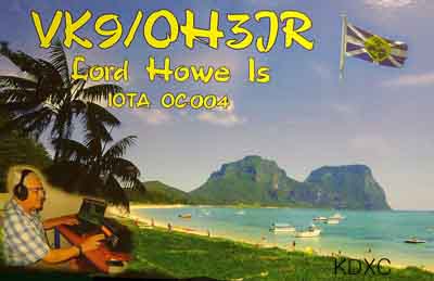
Amateur radio: Prefix VK9L, own DXCC-entity, time-zone: UTC + 10:30 hrs, CQ
zone 30, ITU zone 60. Last time Lord Howe Island was listed 1979 for the 100
Most wanted DXCC ranking as No 89. <DX-NL 1263 October 2, 2001>
|

.jpg)